
Ask around about the best time to go white water rafting in Costa Rica and you’ll hear a little bit of everything. Go in the rainy season, because the rivers are full. Go in the dry season, because the sun is out. Go any time! None of that is exactly wrong. It just comes from the Pacific side’s calendar, and the rivers we run don’t follow it.
Manuel and I run Jungle Flow out of Turrialba, on the Caribbean side of the mountains. The Pacuare comes down out of the Talamanca mountains and runs all the way to the Caribbean Sea. The Pejivalle (formerly Pejibaye) is about an hour south of town and ends up in the Caribbean too, and so does the Sarapiquí, which is part of most of our Whitewater Weeks. I’ve been guiding since 2008, and back when I was still teaching, I spent my seasons guiding on the Pacuare. So here’s what the year looks like from our side of the country, and why.
Two coasts, two calendars
When people talk about a “dry season” and a “green season,” they mean the Pacific. Visit Costa Rica, the national tourism board, puts the Pacific’s dry season from December to March, with April as a transition month, and its rainy season from May to October, with November as the transition. That’s the calendar most travel guides use.
The Caribbean side keeps a different one. The same tourism board says our side doesn’t have a well-defined dry season at all. It has two drier stretches, February to March and September to October, and its rainiest month is December. Costa Rica’s national weather institute describes the Caribbean pattern as rainy all year, with a dip in February, March and October. In its study of the country’s climate regions, the slopes around Turrialba and the Pacuare’s watershed have no dry period at all, with rain on about 190 days of an average year, and the mountains that feed the Pejivalle get even more.
The good news? All that rain is why our rivers have water all year! So the real question isn’t wet season or dry season. It’s what the river will be like the week you’re here.
The year on the Caribbean side, month by month
These are the patterns most years, not promises. Every year is a little different, and one big storm can change a week. And this is the weather, not the water: what the rain does to a river in a given week is the part I’d rather tell you myself, once I know your dates.
November to January: the Pacific dries out, and our side gets the rain. This is the one that surprises people. Right as the Pacific heads into its dry season, cold fronts pushing down from the north start bringing rain to the Caribbean slope. According to the weather institute, those fronts cause more flooding on our side than any other weather system between November and February. When a strong front comes through, the rivers feel it. It’s also when our Whitewater Weeks run, from November into January.
February and March: the first drier stretch. This is the first of the Caribbean side’s two dips in the rain. It also overlaps the end of the Pacific’s dry season, so if your trip takes in both coasts, this is when both are most likely to be on the drier side.
April to August: the in-between months. The Pacific’s rainy season starts in May, and on our side the rain never really stopped. Big rain can show up in any month here. In July 2021, for example, Costa Rica’s national emergency commission put Turrialba and Sarapiquí on red alert and asked tour companies to cancel water activities because of the risk of sudden floods.
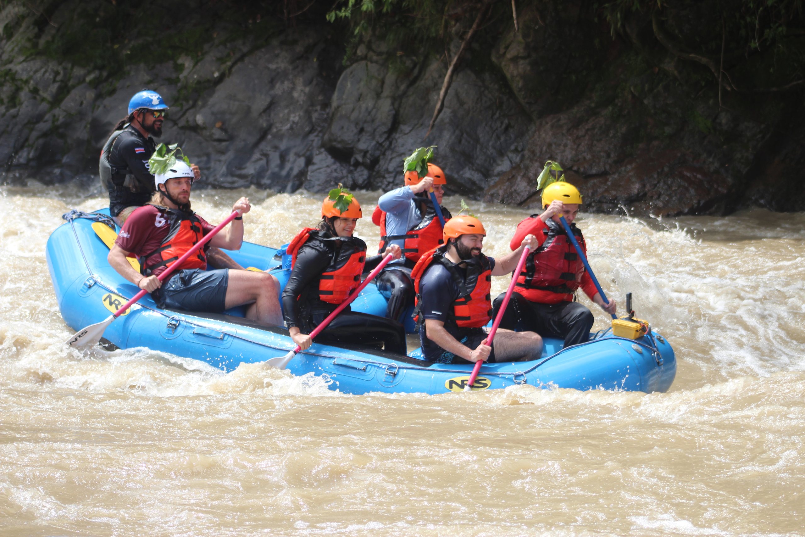
September and October: the second drier stretch. These are the Pacific’s rainiest months, and they’re the Caribbean side’s other dip in the rain, especially October. If you’d like a few beach days at the end of your trip, this is one of the two times of year the Caribbean coast tends to be drier. (That’s a Pacuare day trip in early October at the top of this post.)
What to know before you flow: high water
Rain on the river doesn’t bother us much. (You’re going to get wet anyway.) What we pay attention to is rain upstream, because that’s what raises the water.
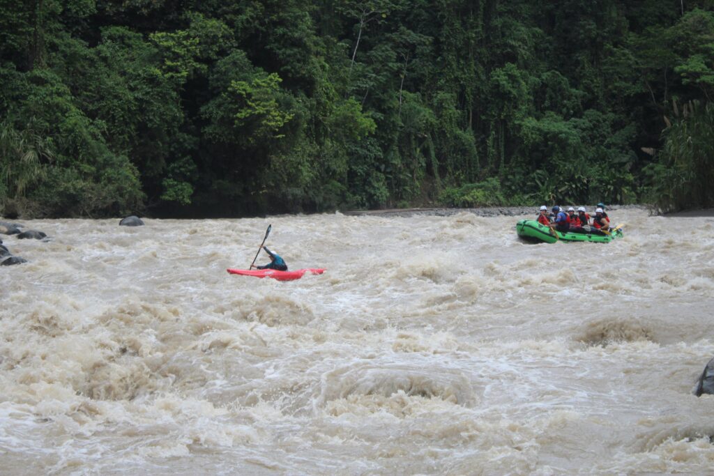
Rapids are rated on the International Scale of River Difficulty, from Class I to Class VI. The Pejivalle is a Class II–III river and the Pacuare is Class III–IV, but those ratings describe normal flows. The scale itself says a river’s grade “may (and usually does) change with the level of flow.” High water usually makes rapids harder and more dangerous, and at flood stage even rapids that are usually easy can turn dangerous.
As a swiftwater rescue instructor, this is the part of my job I take most seriously. Every Whitewater Week itinerary carries one line: it “may be adjusted to ensure the best experience and participant safety.” That line is there for a reason. If you’re wondering what a high-water day would mean for your own plans, that’s a great question to ask me on a call.
So when should you come?
Honestly? Come when you can, and let us match the river to the month. Here’s where I’d start:
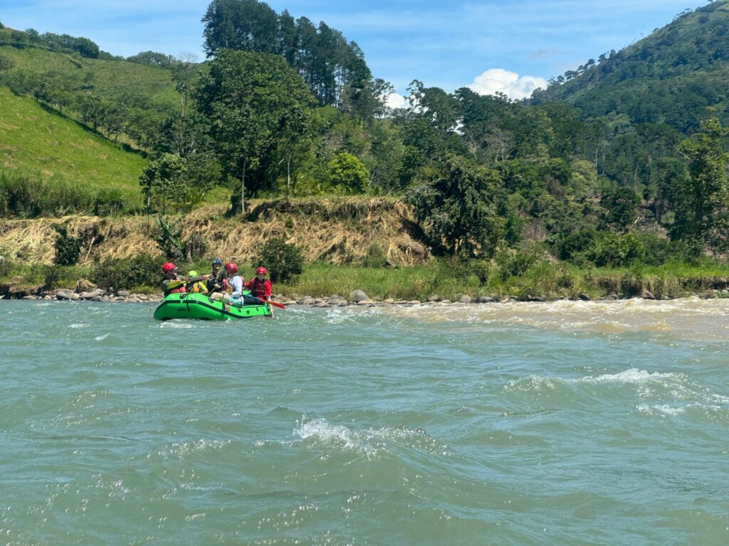
- First time, or bringing the kids? The Pejivalle one-day rafting trip is our family river: Class II–III, gentle rapids and clear pools to swim in, for ages 8 and up. For the kids, I’ve written a whole post on rafting in Costa Rica with kids, and which river suits which age.
- Got your heart set on the Pacuare? It’s Class III–IV, for ages 12 and up, and you can run it in a day or with a night by the river. On the two-day Pacuare overnight, you sleep in a screened jungle cabin and take out near the Caribbean side. If you’re torn, here’s the Pacuare in one day or two, and who each suits, plus how the Pacuare compares with the Sarapiquí and the Pejivalle.
- Want a whole week on the water? Our Whitewater Week (Class 3–4) runs in that November-to-January window and fits the Pejivalle, the Pacuare and the Sarapiquí into one week, with certified instructors. It’s built for kayakers who want to progress, and there are rafts and inflatable kayaks for partners and family who don’t paddle.
- Ending on the beach? The coolest part of the overnight is that you take out about an hour from the coast. Here’s how to raft your way from San José to the Caribbean coast.
Not sure which one you are? Find Your Flow asks how much time you’ve got and what you’re into, then suggests trips that fit.
Here’s the short version: our side of the country has no true dry season, so the trick is matching the right river to your month and your crew. Most people feel a lot more confident about that after a quick call. So, when are you thinking of coming? Tell me your dates, and I’ll tell you what the rivers usually look like that time of year.
Schedule an Itinerary Consultation: 15 minutes to pick the right rivers for your level and fit them around your dates.